




Lecturer in Forest Sciences at the Institute of Forest Sciences, University of Swat, Pakistan. PhD in Forestry from Beijing Forestry University (2022–2025), in the Forest Management and Remote Sensing lab. I work on forest remote sensing: vegetation–climate dynamics, burn severity and recovery, land-cover change, and biomass and carbon.
Tools: Python (xarray, rioxarray, geopandas), R, Google Earth Engine, QGIS.
eofigs makes publication-ready figures for Earth observation research in Python: pip install eofigs

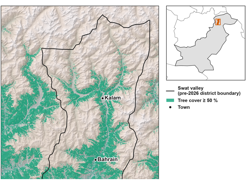 Study area map |
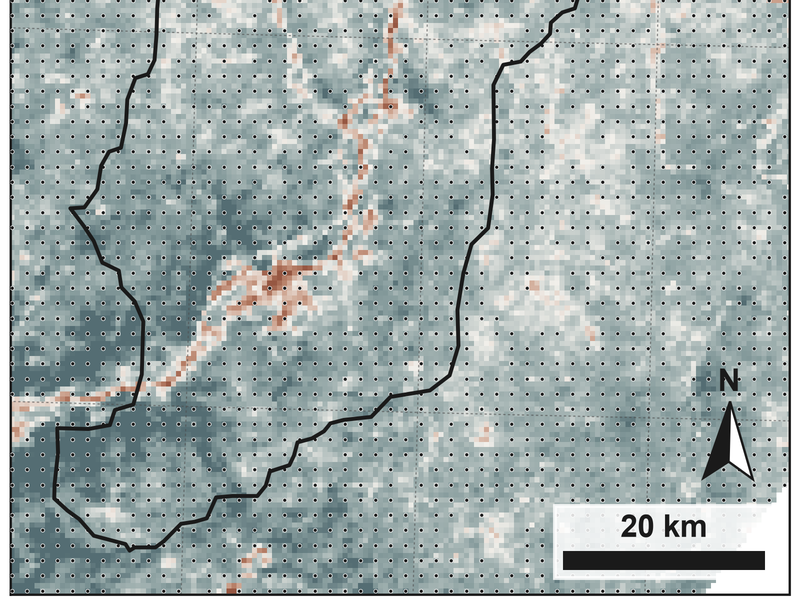 Trend map |
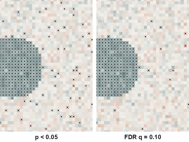 False discovery rate |
- Vegetation dynamics and vegetation health under climate change (NDVI, kNDVI, climate drivers)
- Forest fire burn severity, fire vulnerability and vegetation recovery
- Land use and land cover change, and forest fragmentation
- Above-ground biomass, carbon stock and net primary productivity
- Machine learning with remote sensing data for forest conservation
- Mehmood, K., Anees, S. A., Muhammad, S., Shahzad, F., Khudayberganov, I., Ruzieva, M., & Oliveira, M. (2026). Climate-driven vegetation vulnerability in a monsoon-dominated dryland: a dual-index (kNDVI–VHI) assessment for Pakistan. Frontiers in Environmental Science, 14, 1745938. doi:10.3389/fenvs.2026.1745938
- Mehmood, K., Anees, S. A., Rehman, A., Rehman, N. U., Muhammad, S., Shahzad, F., Liu, Q., Alharbi, S. A., Alfarraj, S., Ansari, M. J., & Khan, W. R. (2024). Assessment of climatic influences on net primary productivity along elevation gradients in temperate ecoregions. Trees, Forests and People, 18, 100657. doi:10.1016/j.tfp.2024.100657
- Mehmood, K., Anees, S. A., Rehman, A., Tariq, A., Liu, Q., Muhammad, S., Rabbi, F., Pan, S., & Hatamleh, W. A. (2024). Assessing forest cover changes and fragmentation in the Himalayan temperate region: implications for forest conservation and management. Journal of Forestry Research, 35, 82. doi:10.1007/s11676-024-01734-6
- Mehmood, K., Anees, S. A., Muhammad, S., Hussain, K., Shahzad, F., Liu, Q., Ansari, M. J., Alharbi, S. A., & Khan, W. R. (2024). Analyzing vegetation health dynamics across seasons and regions through NDVI and climatic variables. Scientific Reports, 14, 11775. doi:10.1038/s41598-024-62464-7
- Mehmood, K., Anees, S. A., Luo, M., Akram, M., Zubair, M., Khan, K. A., & Khan, W. R. (2024). Assessing Chilgoza Pine (Pinus gerardiana) forest fire severity: remote sensing analysis, correlations, and predictive modeling for enhanced management strategies. Trees, Forests and People, 16, 100521. doi:10.1016/j.tfp.2024.100521
Full list: Google Scholar · ORCID · Scopus
- Website: kaleemmehmood.netlify.app
- Google Scholar: scholar.google.com/citations?user=lgXCKmwAAAAJ
- ORCID: 0000-0002-7996-8684
- Scopus Author ID: 57760239500
- LinkedIn: kaleem-mehmood-982b38230